Use Case · Rural Land
Real Estate Flyer Templates for Rural Land & Acreage Listings
Rural land does not photograph well -- a 40-acre tract with a tree line is a disappointing JPEG. The buyers care about acreage, road frontage, perc tests, soil type, mineral rights, drive time to the nearest town, and what is allowed on the parcel. The flyer is doing the work the photo cannot, which means the layout has to lead with a map, not a photo.
Templates built for rural land
Pulled from the AgentPress template library, brand-locked to your brokerage colors, fonts, and logo. Agents fill a form -- the design is handled.

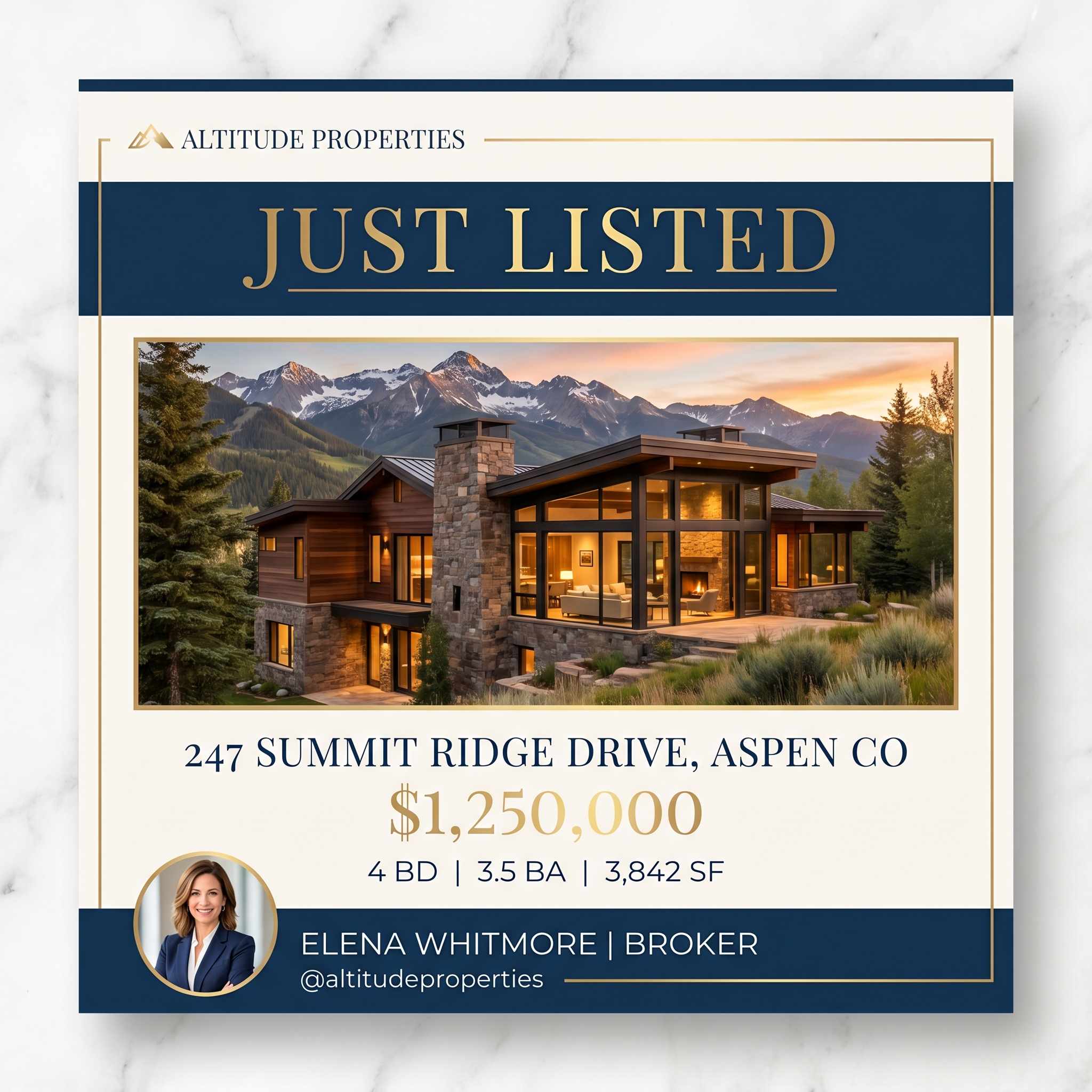
Feature Sheet
Land-specific flyer layout: aerial photo or parcel map at the top, acreage + frontage callout, zoning and use-allowed bullets, and a drive-time table. Built to substitute for the photo gallery a residential flyer leans on.

Listing Booklet
For 50+ acre tracts and timberland: multi-page brochure with topographic map, soil map, timber-cruise data (if available), and easement notes. The format serious land buyers expect.

Postcard
"Land for sale" postcard for the surrounding farm or hunting community. Acreage, price, and a parcel-map thumbnail. Targets the neighbor who has been eyeing the tract for two years.
Social Media Graphic
Aerial-photo Instagram tile with acreage + price overlay. Designed for hunting groups, ag groups, and rural-buyer Facebook groups -- not the urban feed.
Why it matters
Why marketing materials matter for rural land
Land buyers are 80% research, 20% emotion. They are evaluating parcels against each other in a spreadsheet. The flyer that wins is the one that surfaces the data they need (acres, frontage, zoning, well/septic, easements) cleanly enough that the buyer can compare yours to three other tracts on a phone screen. Generic listing flyers built for residential homes hide the data the land buyer cares about.
6 tips for marketing rural land
- 1
Lead with an aerial map, not a tree-line photo. Drone aerials and county GIS exports both work; a head-on photo of grass does not.
- 2
Print the acreage at the size of the price. Land buyers compare tracts on $/acre, not list price.
- 3
Surface the zoning, well, septic, perc test, and any easements on the front of the flyer. Land buyers will not call to ask -- they will move on to the next tract.
- 4
Include a drive-time table: "12 min to [town], 35 min to [city], 90 min to [airport]." Out-of-market buyers buy land based on drive times, not addresses.
- 5
Add a "uses allowed" line: residential, agricultural, recreational, timber. The buyer is matching the parcel to a use case, not a floor plan.
- 6
Where photos are weak, lean on county GIS exports and hand-drawn-feeling parcel maps. A rough hand-marked map reads more honest than a glossy stock-photo flyer for rural land.
Cost Calculator
What does rural land marketing actually cost your brokerage today?
Plug in your roster size and per-listing piece count. The savings vs. agent-paid designers tend to surprise people.
Your numbers
Adjust these to match your brokerage. Calculations update live.
Industry average is 6-12 for active agents.
Flyer, social graphic, postcard, just-listed mailer, etc.
What an agent typically pays a designer or admin for one piece.
Estimated annual savings
$51,612
- Current agent design spend
- $54,000 / yr
- AgentPress cost
- $2,388 / yr
- Recommended plan
- Growing ($199/mo)
FAQs about rural land marketing
How do I make a flyer for vacant land or rural acreage?
Lead with a parcel map or aerial photo at the top of the flyer, surface acreage and price-per-acre near the headline, and replace the residential photo gallery with a data block (zoning, well, septic, easements, drive times). AgentPress includes a land-specific flyer variant that follows that layout by default; the agent uploads the parcel map and the rest auto-populates.
What information should a land flyer include that a house flyer does not?
Acreage, price-per-acre, road frontage, zoning, well/septic status, perc test results, easements, mineral rights, timber data (where applicable), and drive times to the nearest town and airport. AgentPress' land template surfaces those fields on the front of the flyer; the residential templates would bury them.
Can AgentPress generate flyers when the only photo is a tree line?
Yes. The land template is designed to lead with a parcel map or aerial in place of the photo. If the listing only has weak ground-level photos, the agent can upload a county GIS map or a drone aerial and the flyer composes around the map. The data block carries the weight a photo would on a residential flyer.
Are there marketing templates for hunting land vs. farm land vs. development land?
Yes. AgentPress includes variants tuned for recreational/hunting land, agricultural/farm land, timberland, and development tracts. Each variant surfaces a different field set on the front -- timber cruise data on timberland, food-plot acreage on hunting land, soil class on farm land, zoning on development tracts. The brokerage brand stays locked across all variants.
Other use cases
Templates for the rest of your brokerage's marketing
See AgentPress with your brokerage's brand
The 15-minute demo walks through your brand setup and shows the agent experience generating rural land marketing from a real listing.